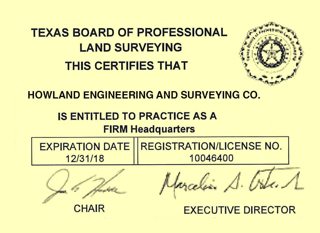
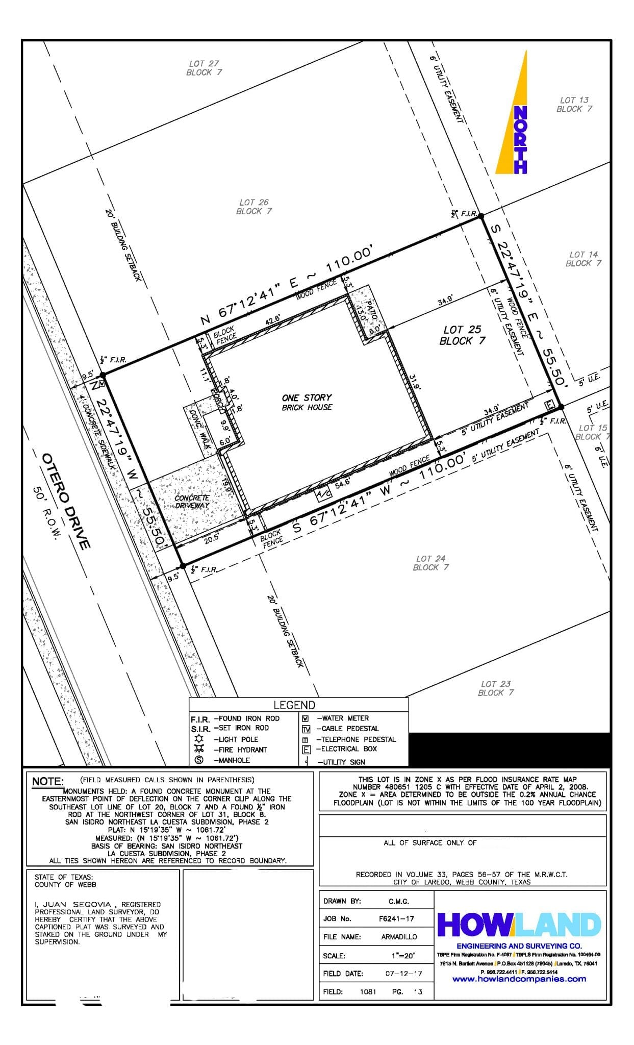
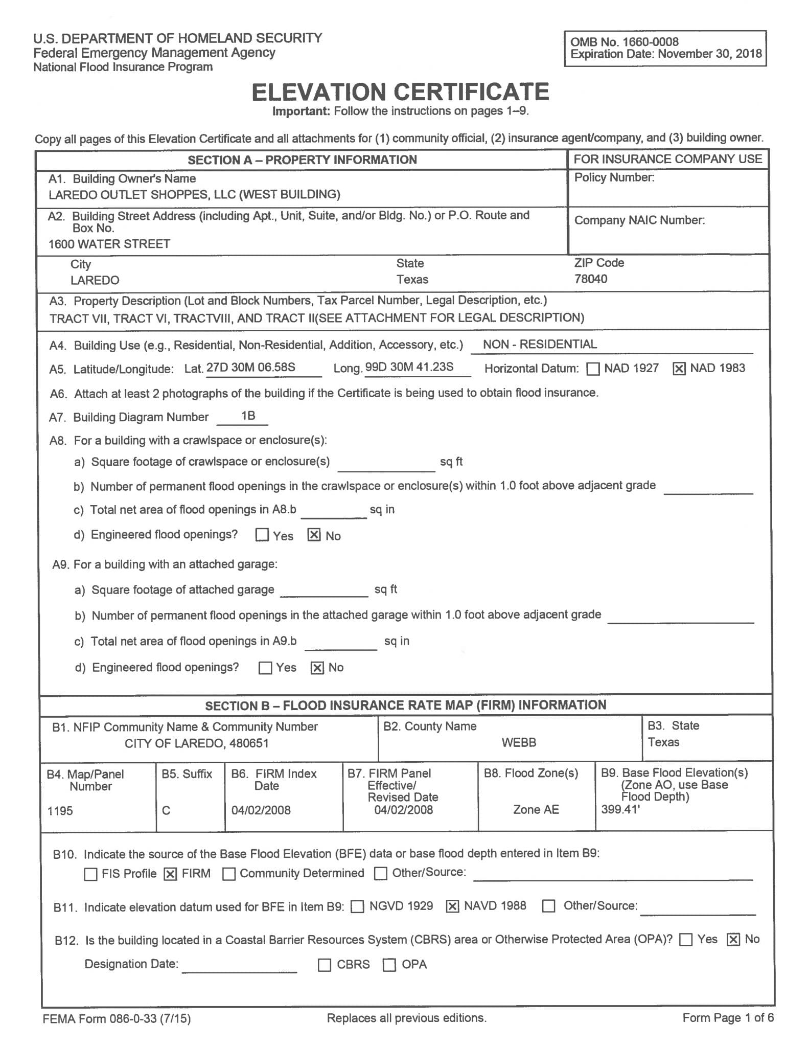
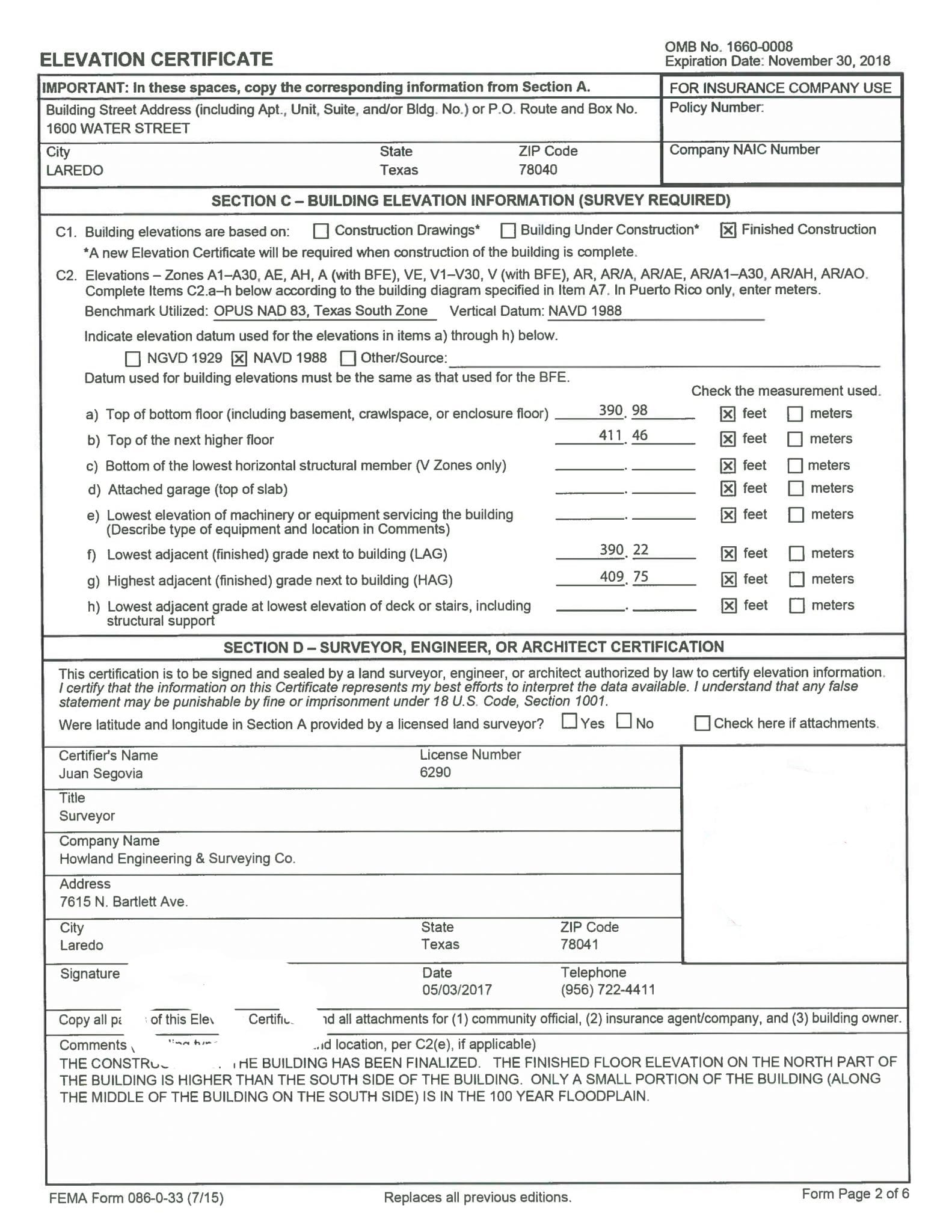
Surveying
- ALTA Surveys
- TxDOT Surveying
- Residential Lots & Title Surveys
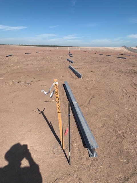
- Construction Staking
- Boundaries & Research
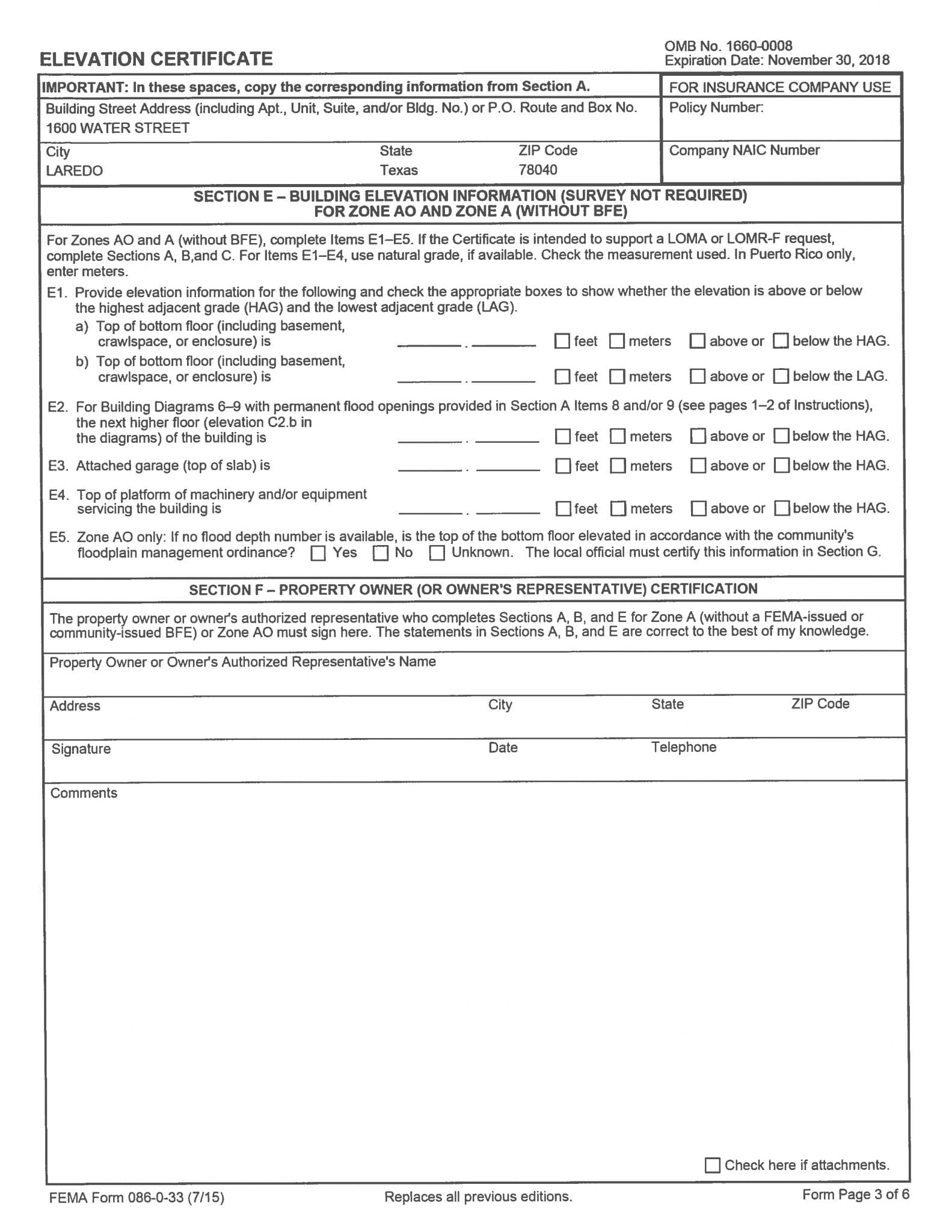
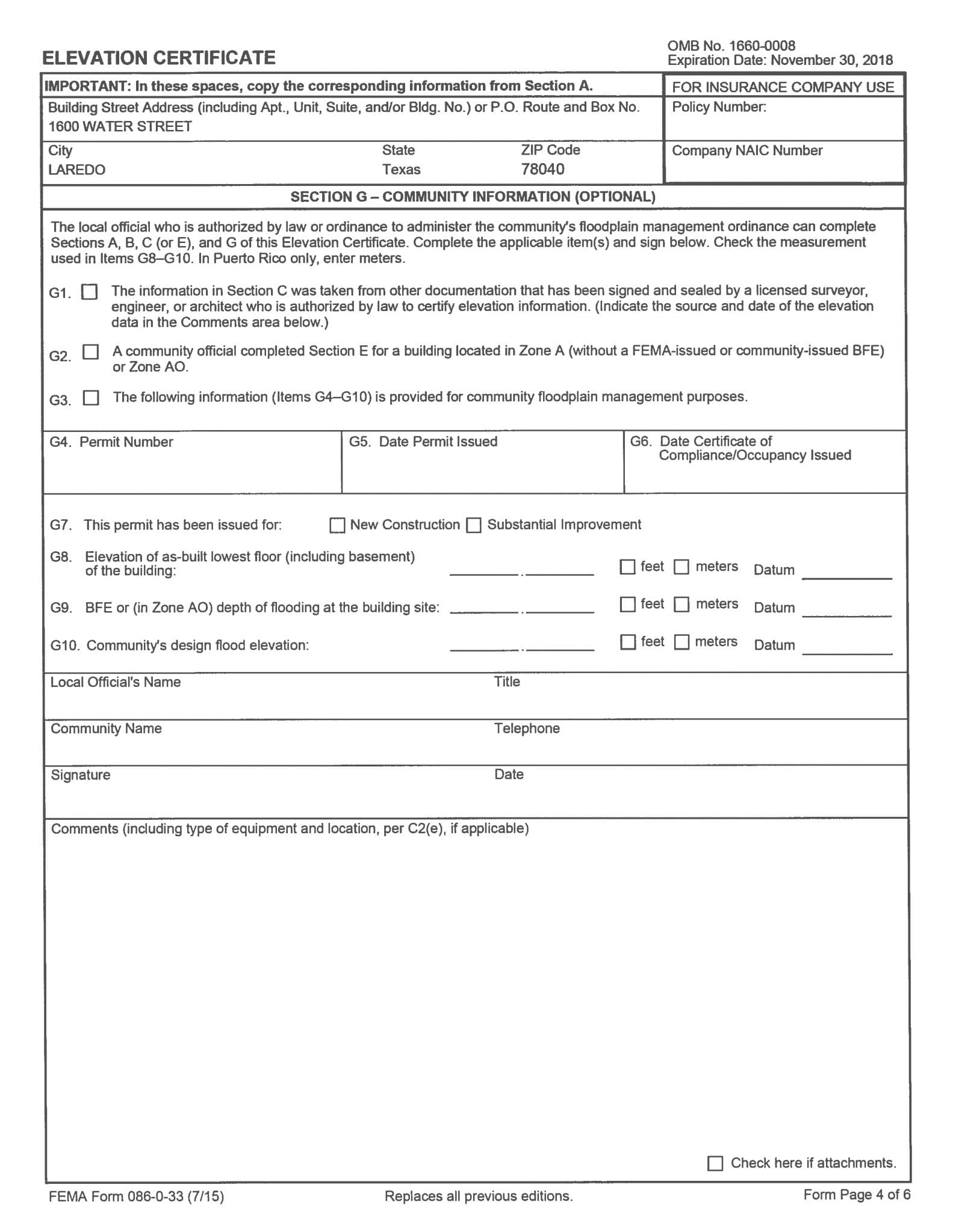
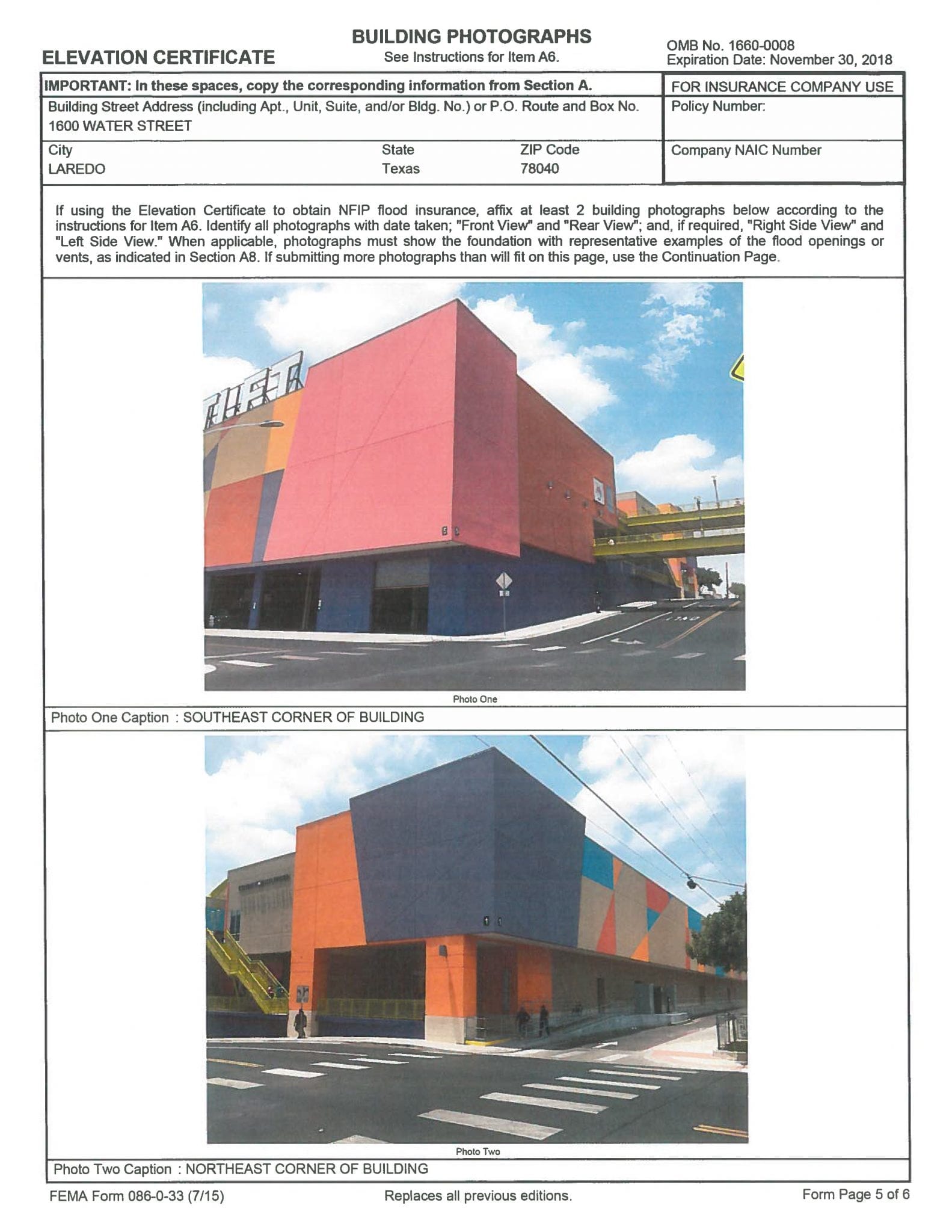
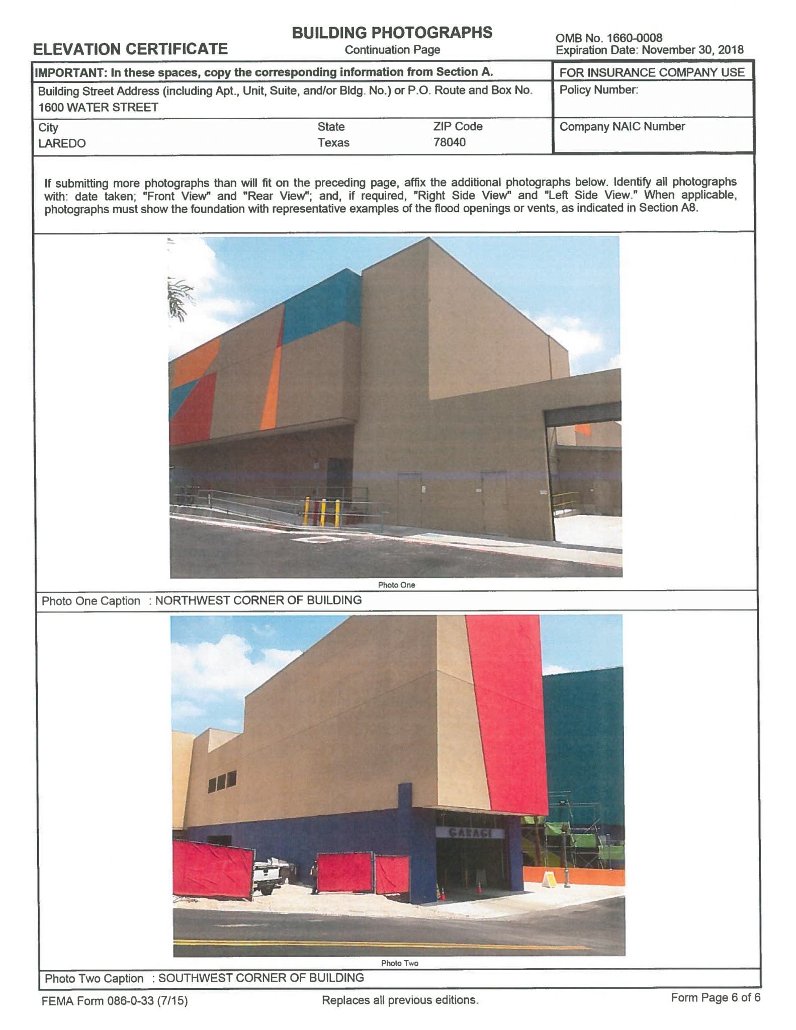
- Elevation Certificates
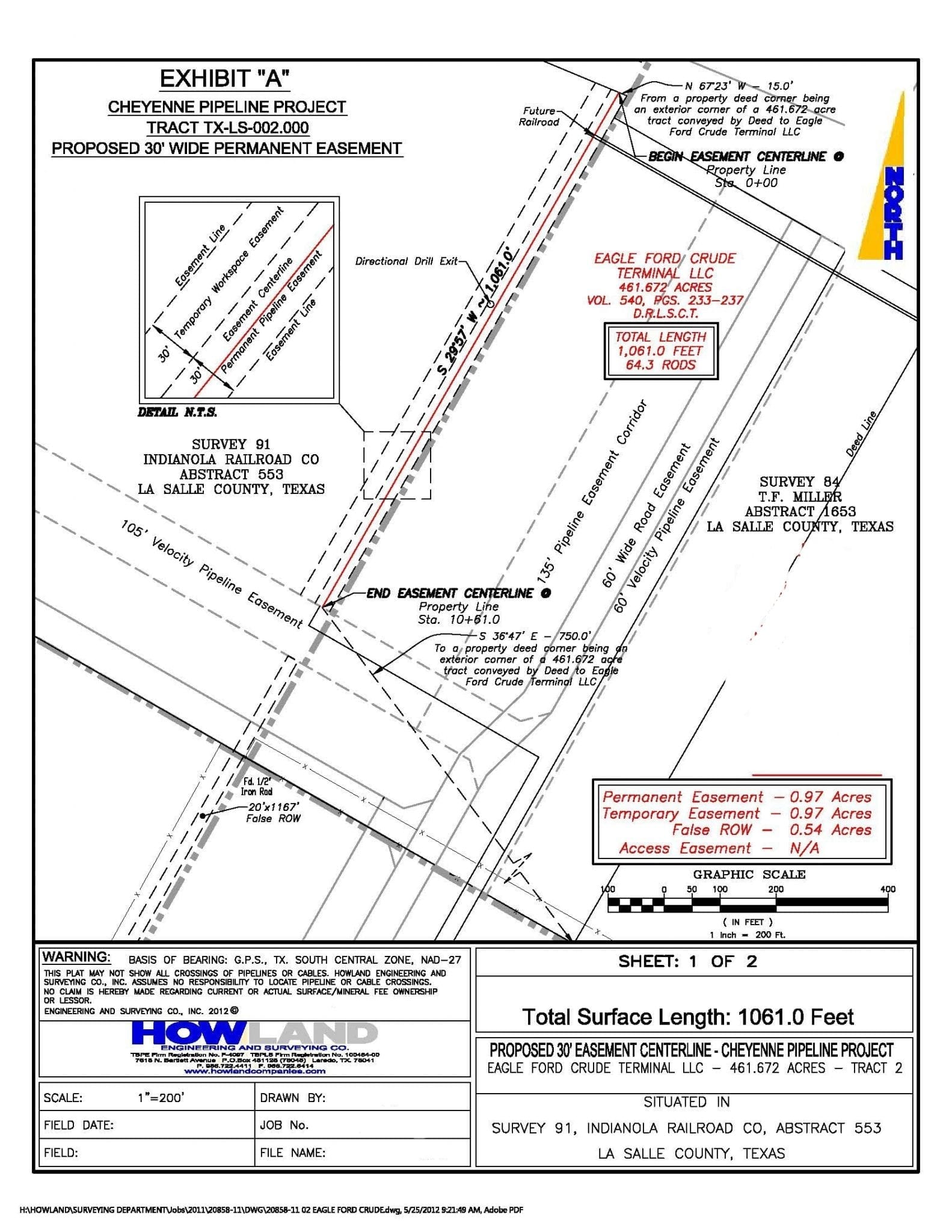
- Easement Preparation
- BlueSky, AutoCAD, & Microstation Software
Oil & Gas
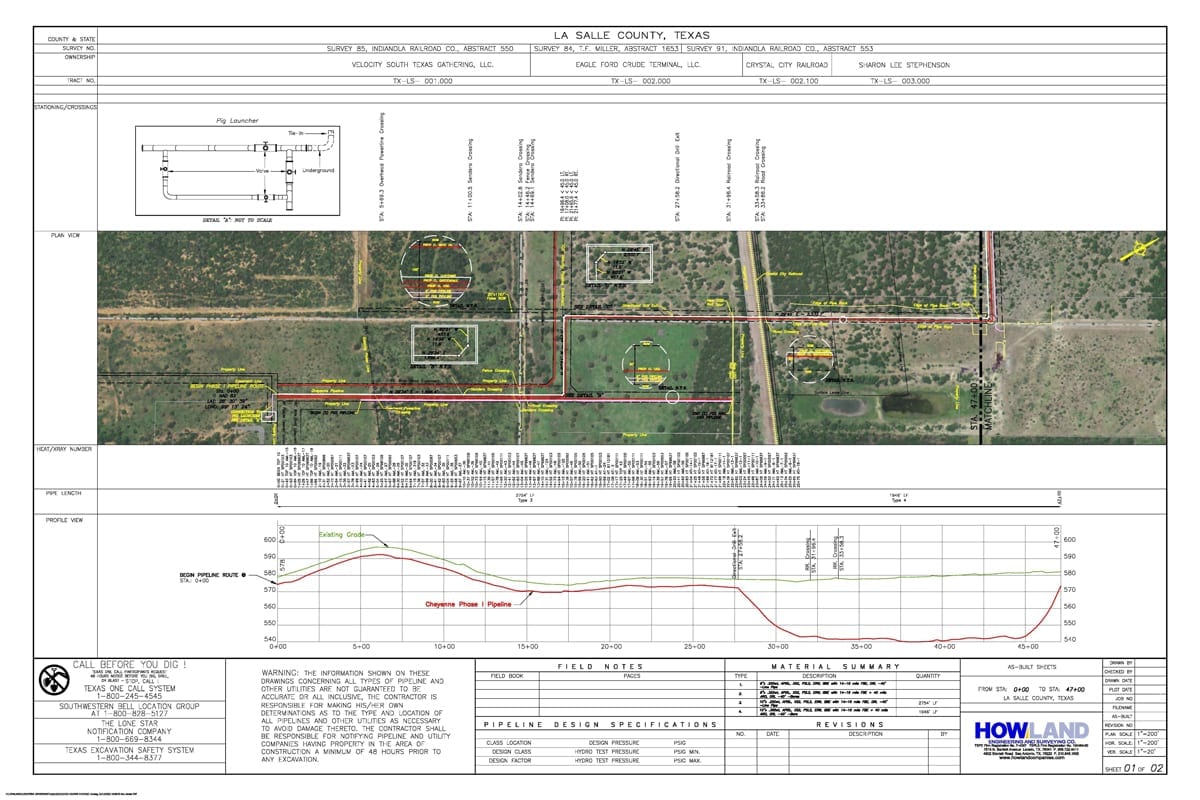
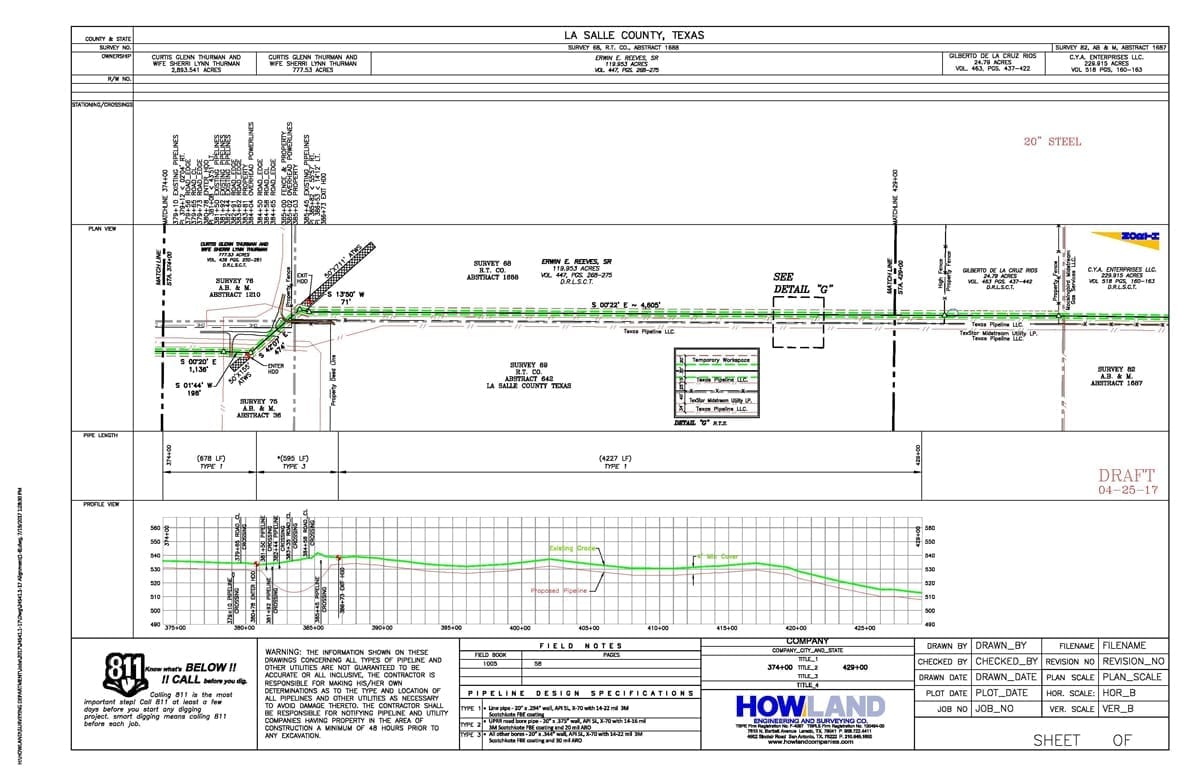
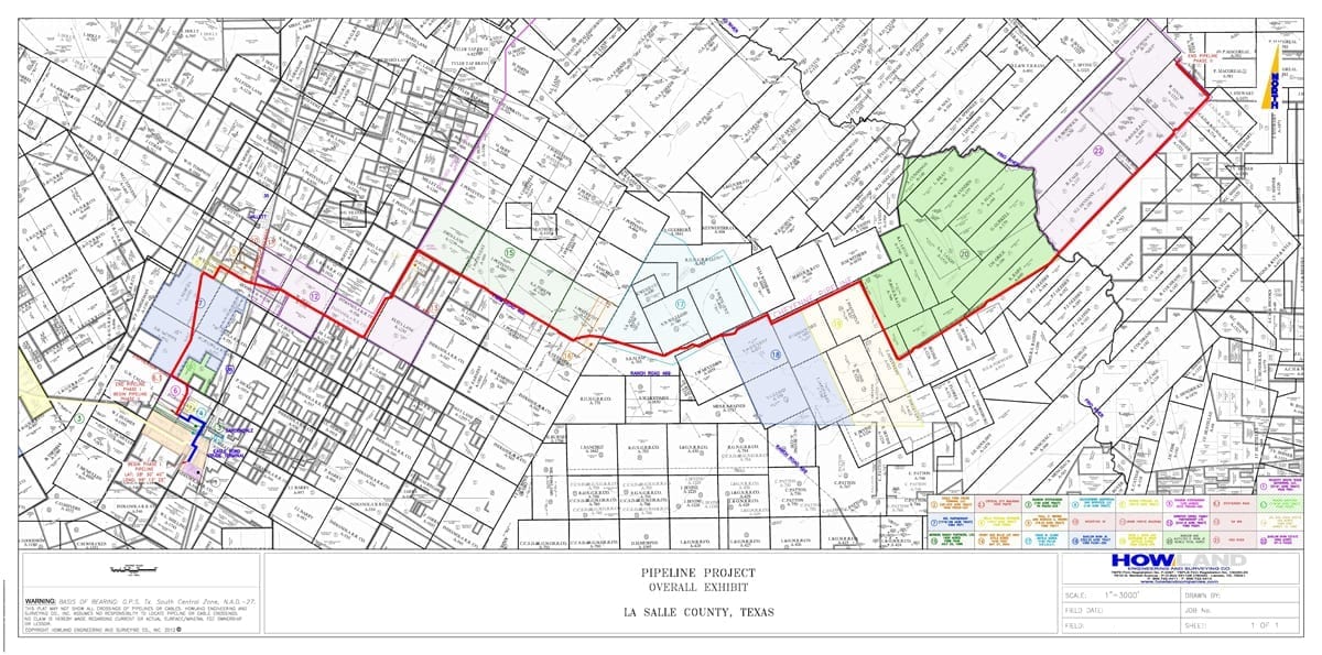
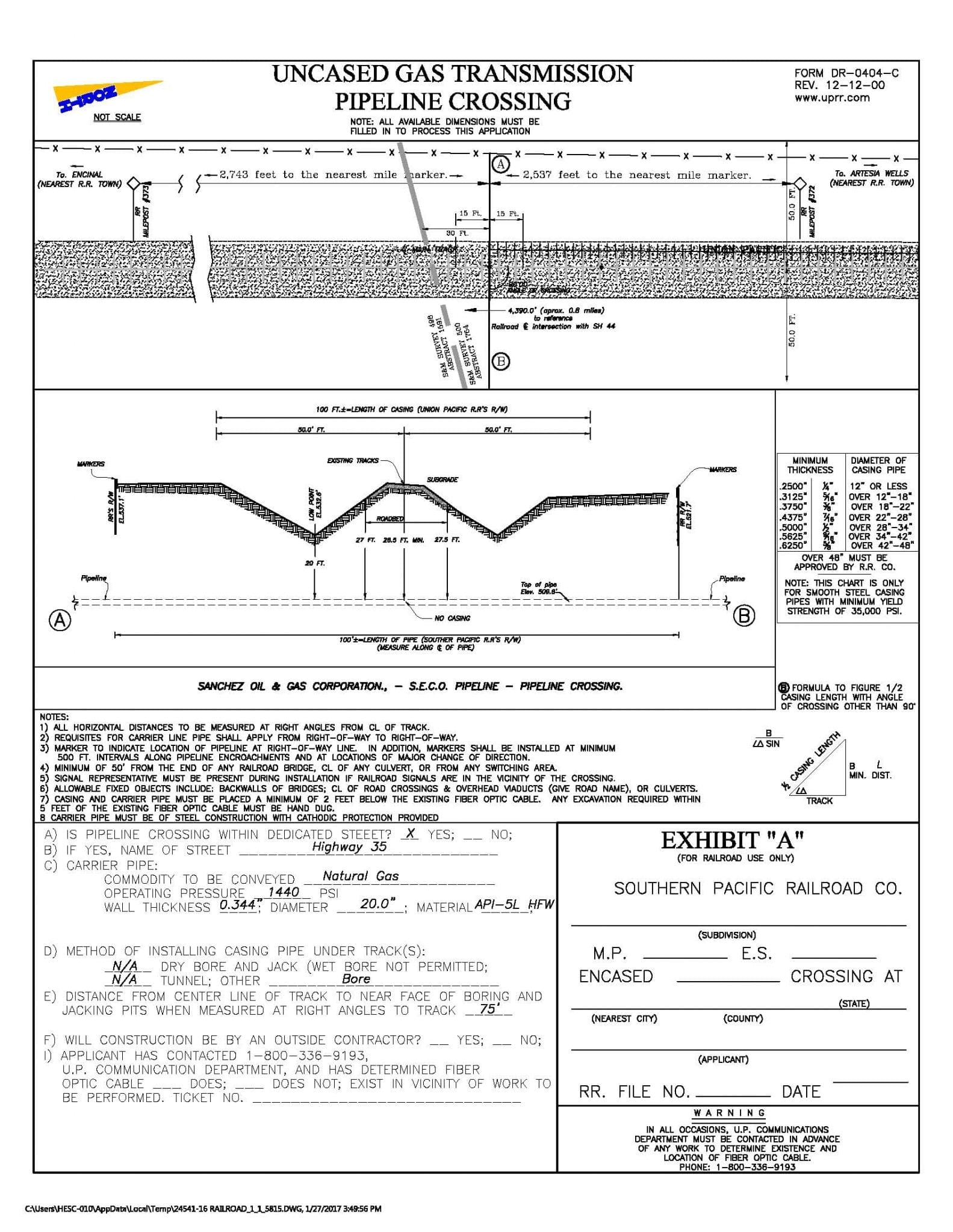
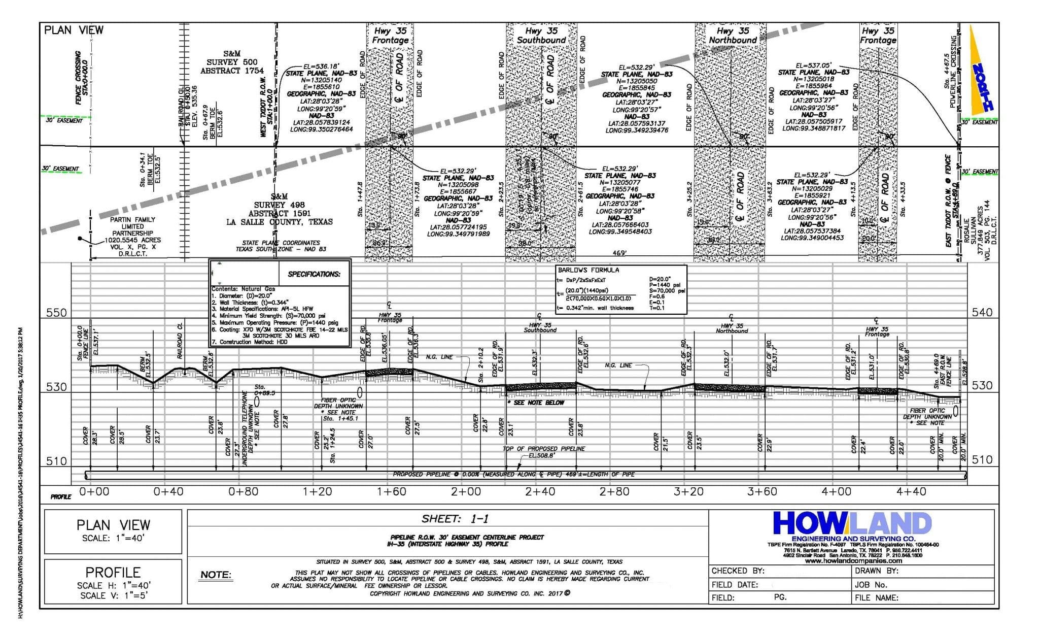
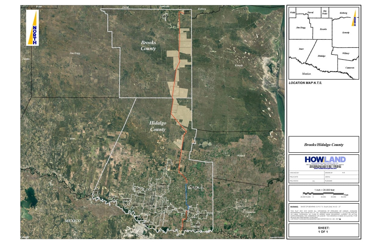
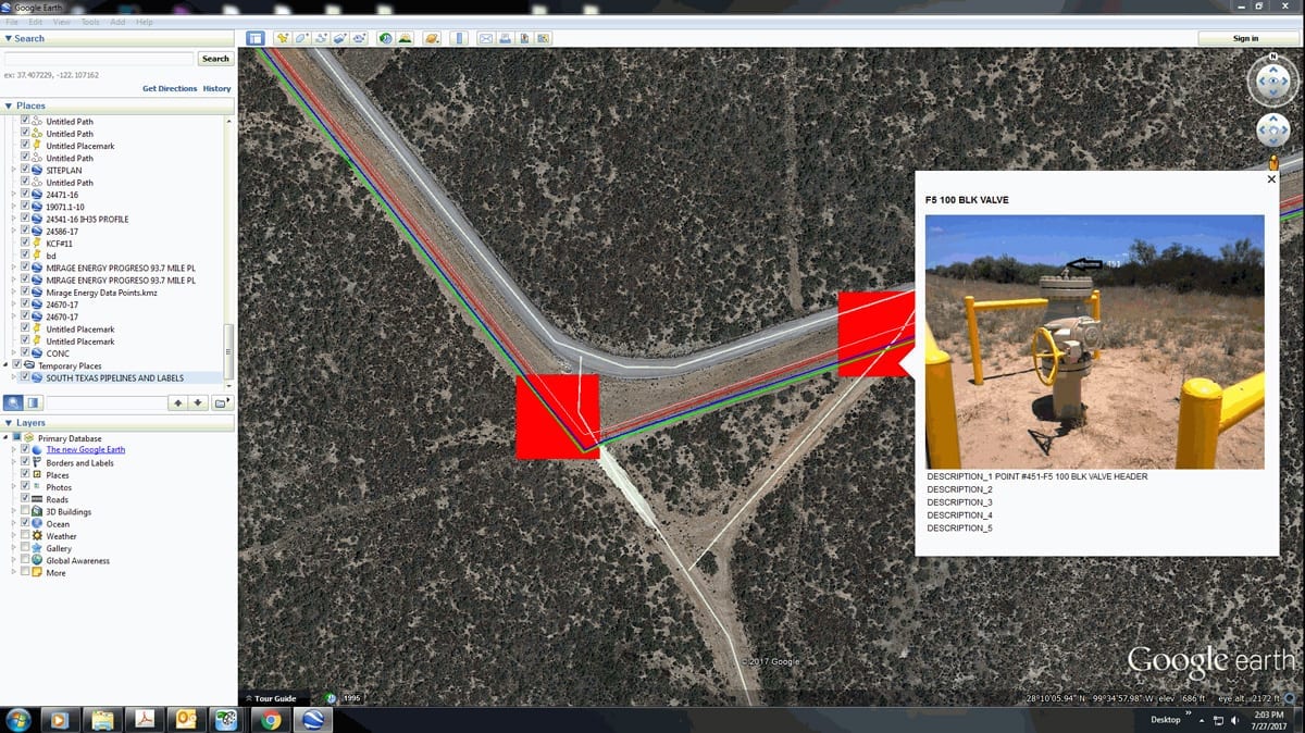
- Midstream & Lateral Pipelines (As-Builts & Stakeouts)
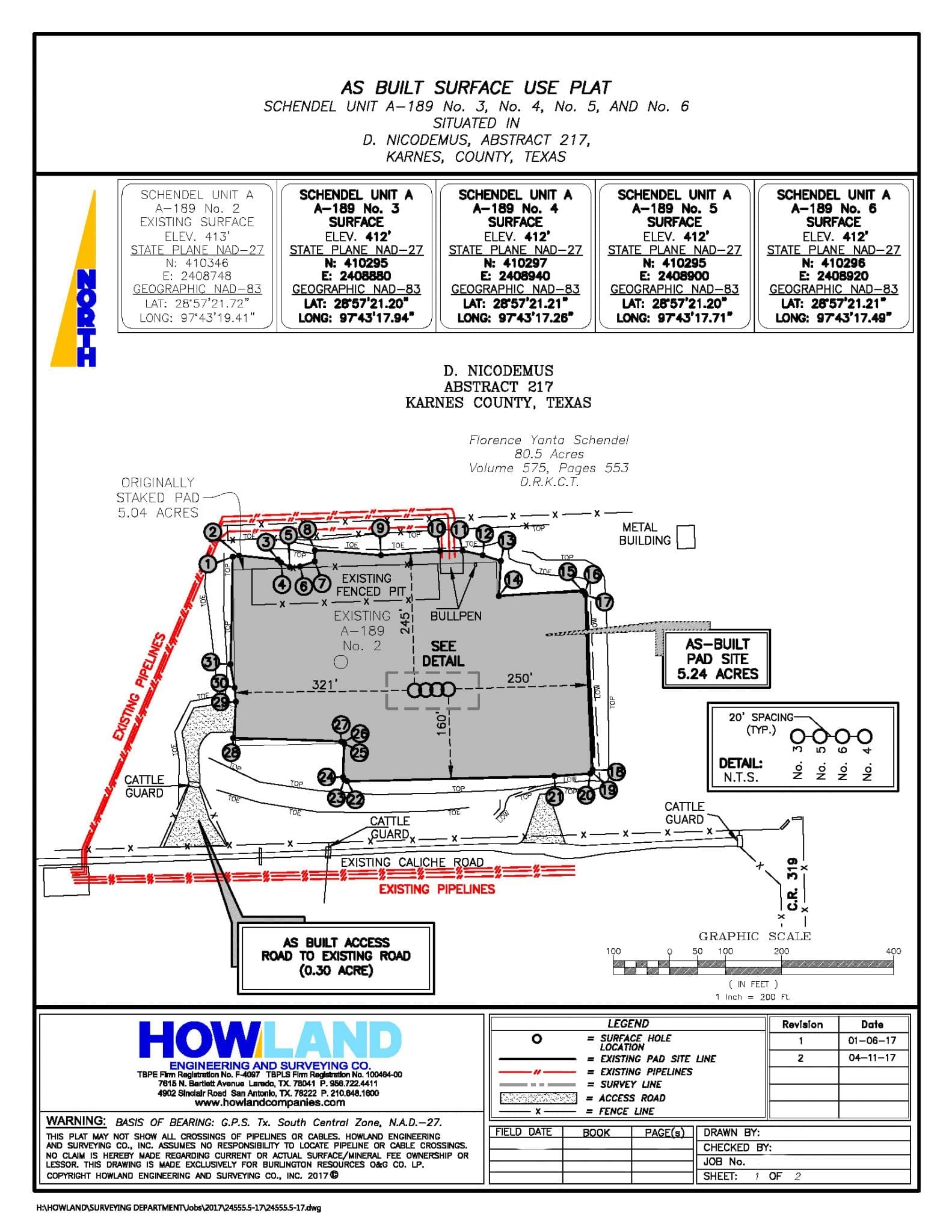
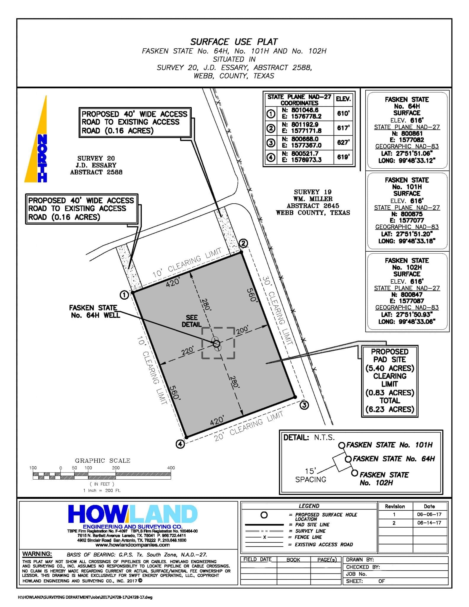
- Facility Site Surveying
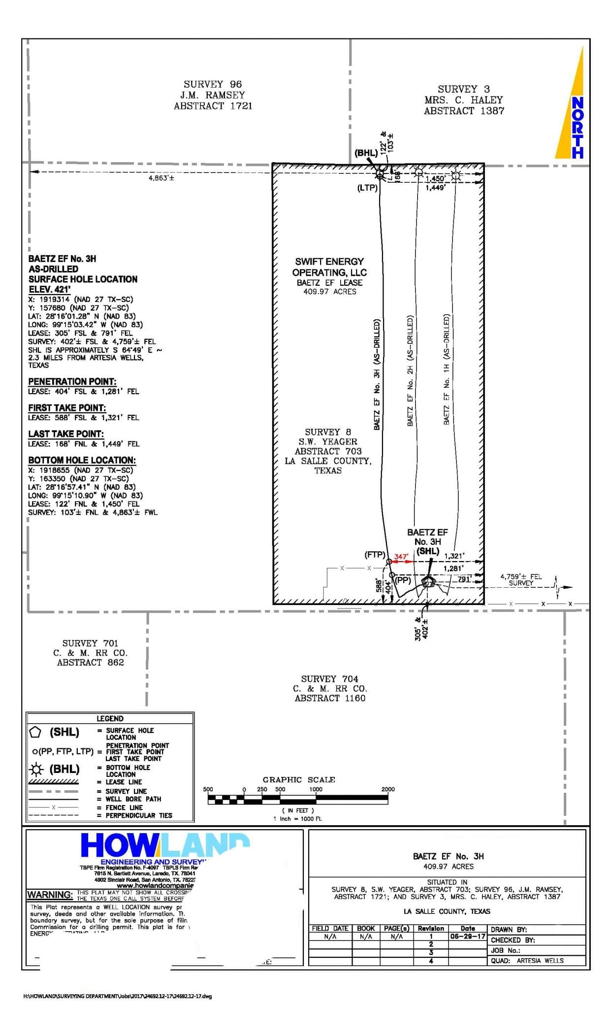
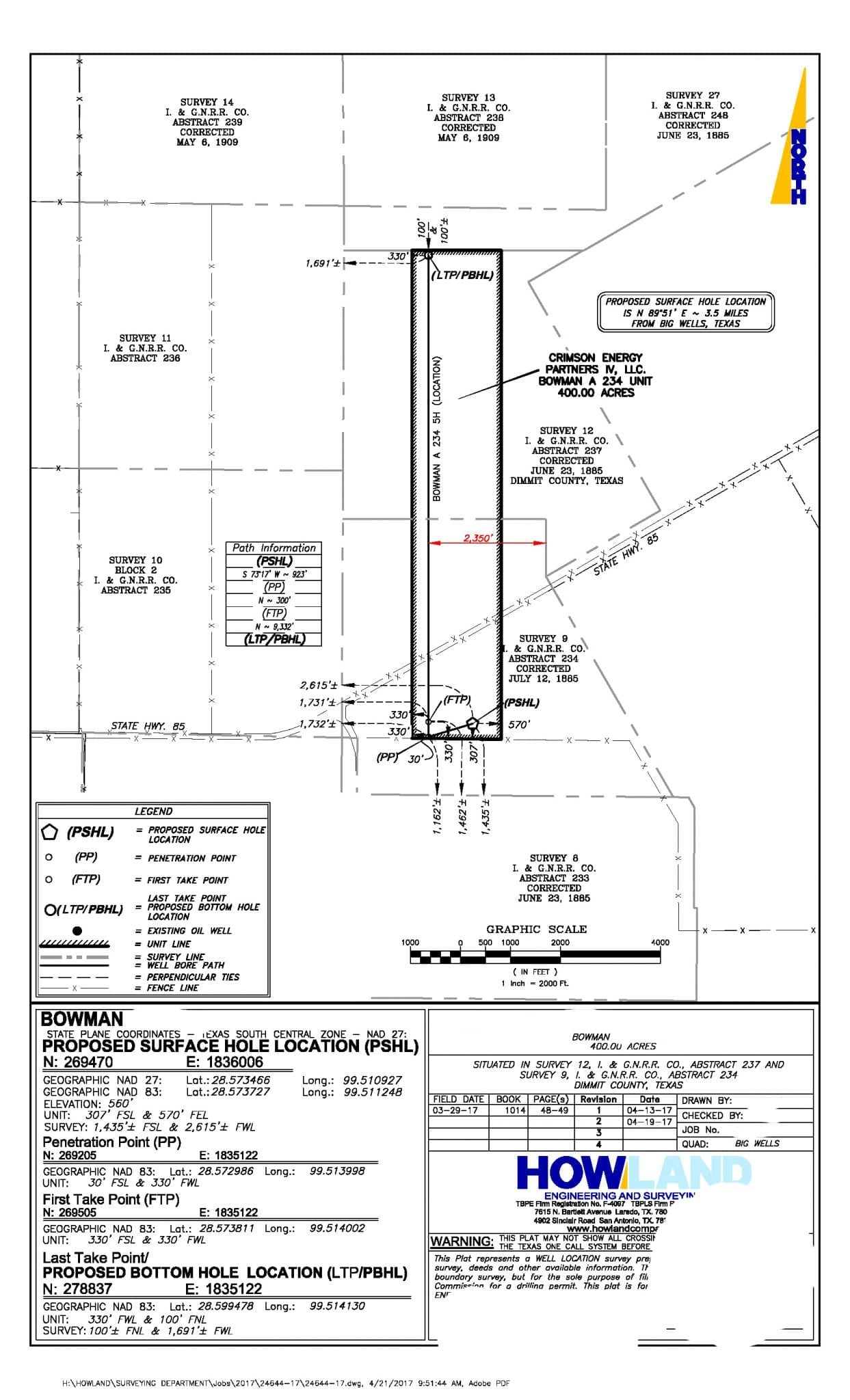
- Well Location RRC Permit Plats
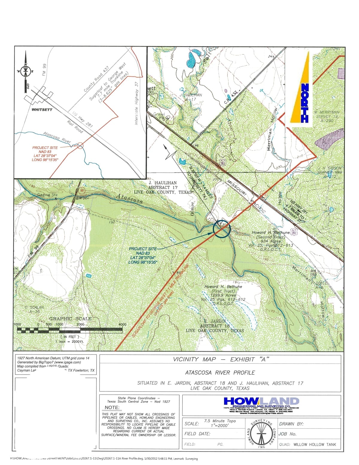
- ROW Acquisition Mapping
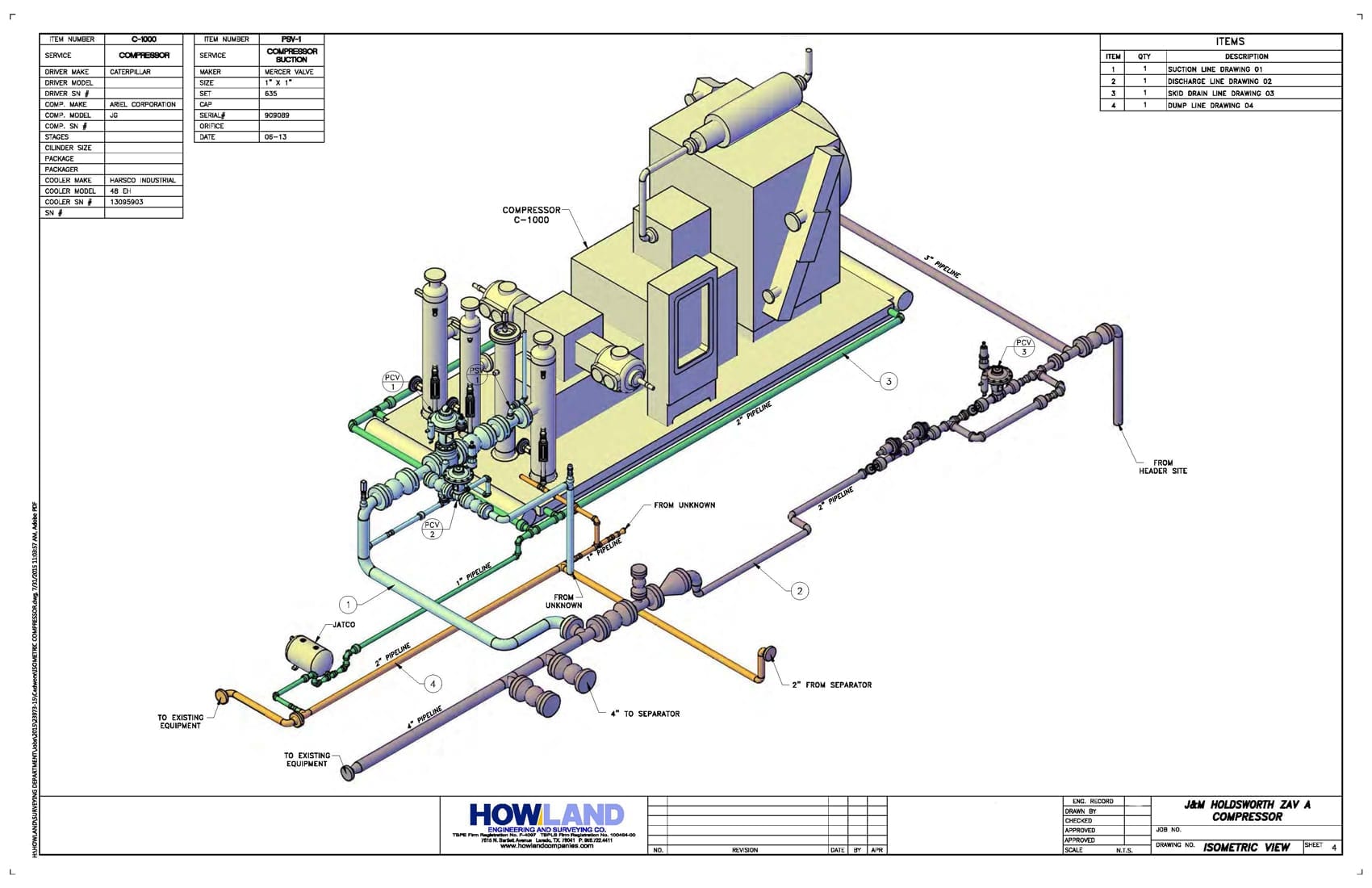
- 3-D Drawings: Pipeline & Equipment
- Piping & Instrumentation Diagrams (P&ID)
- Process/Applications for County & State Permits, To Include Required Documents
Green Energy
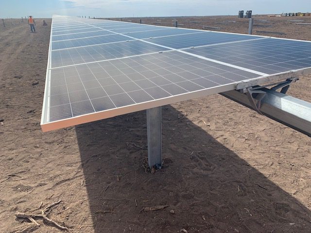
- Solar Farm Surveys
- Wind Farm Surveys
Engineering
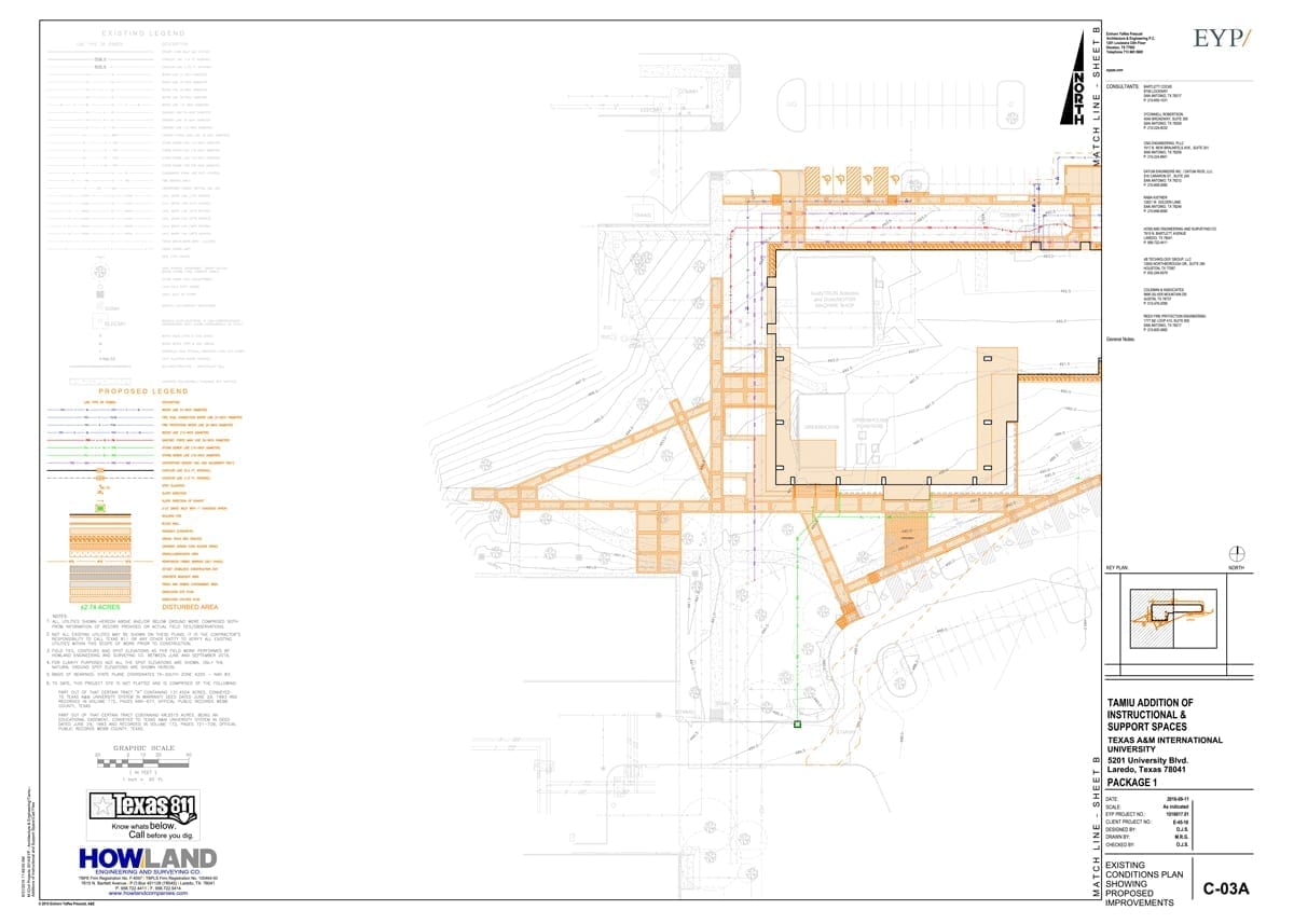
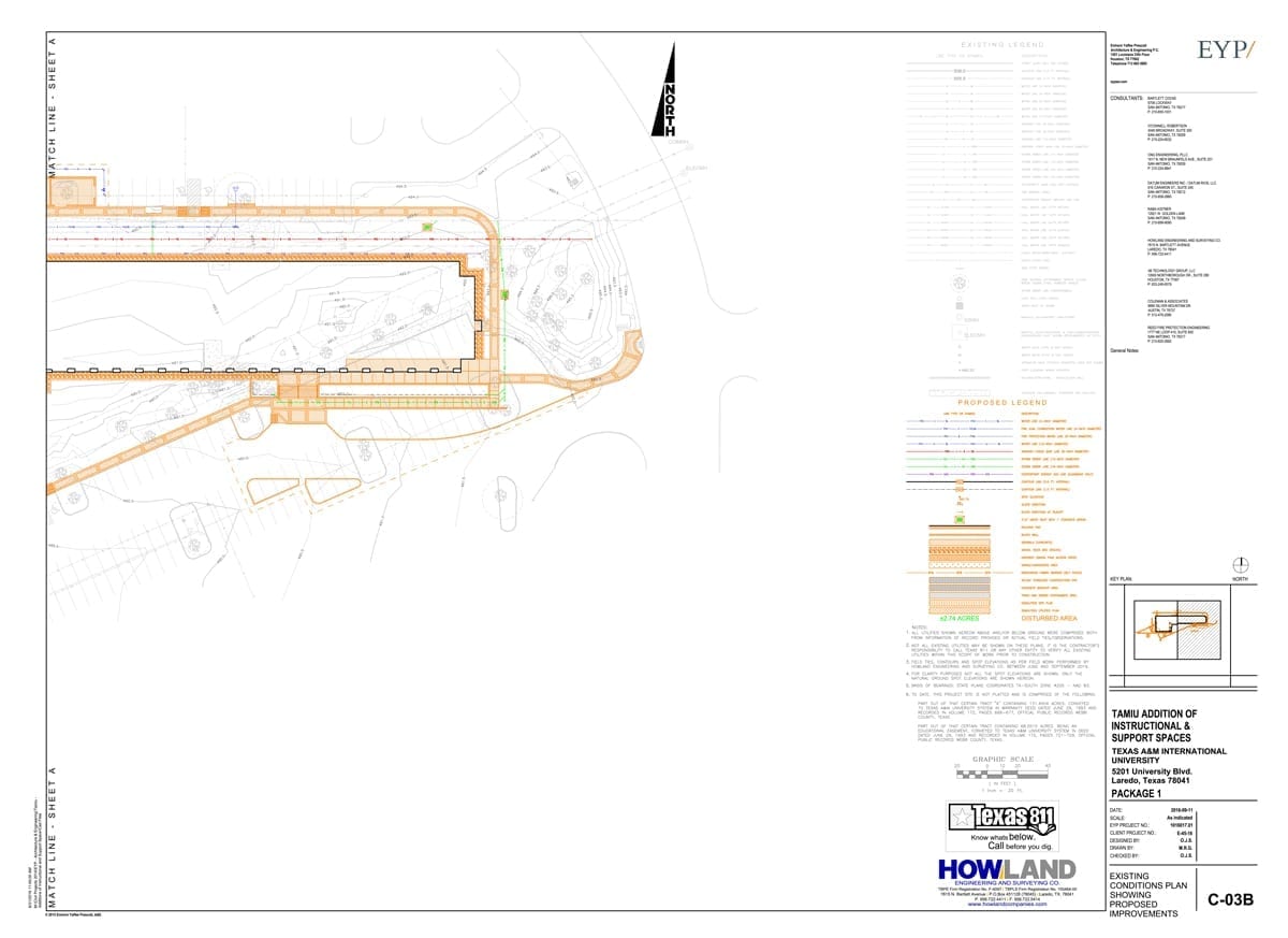
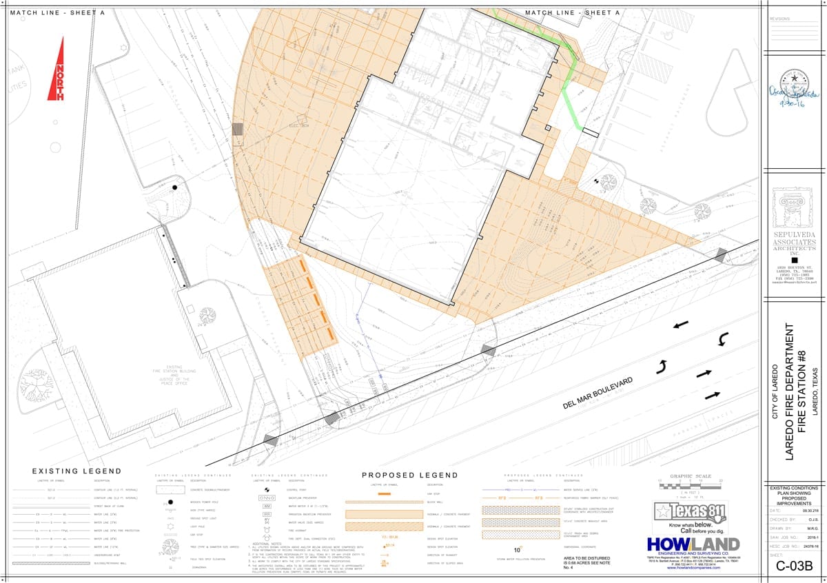
LAND DEVELOPMENT
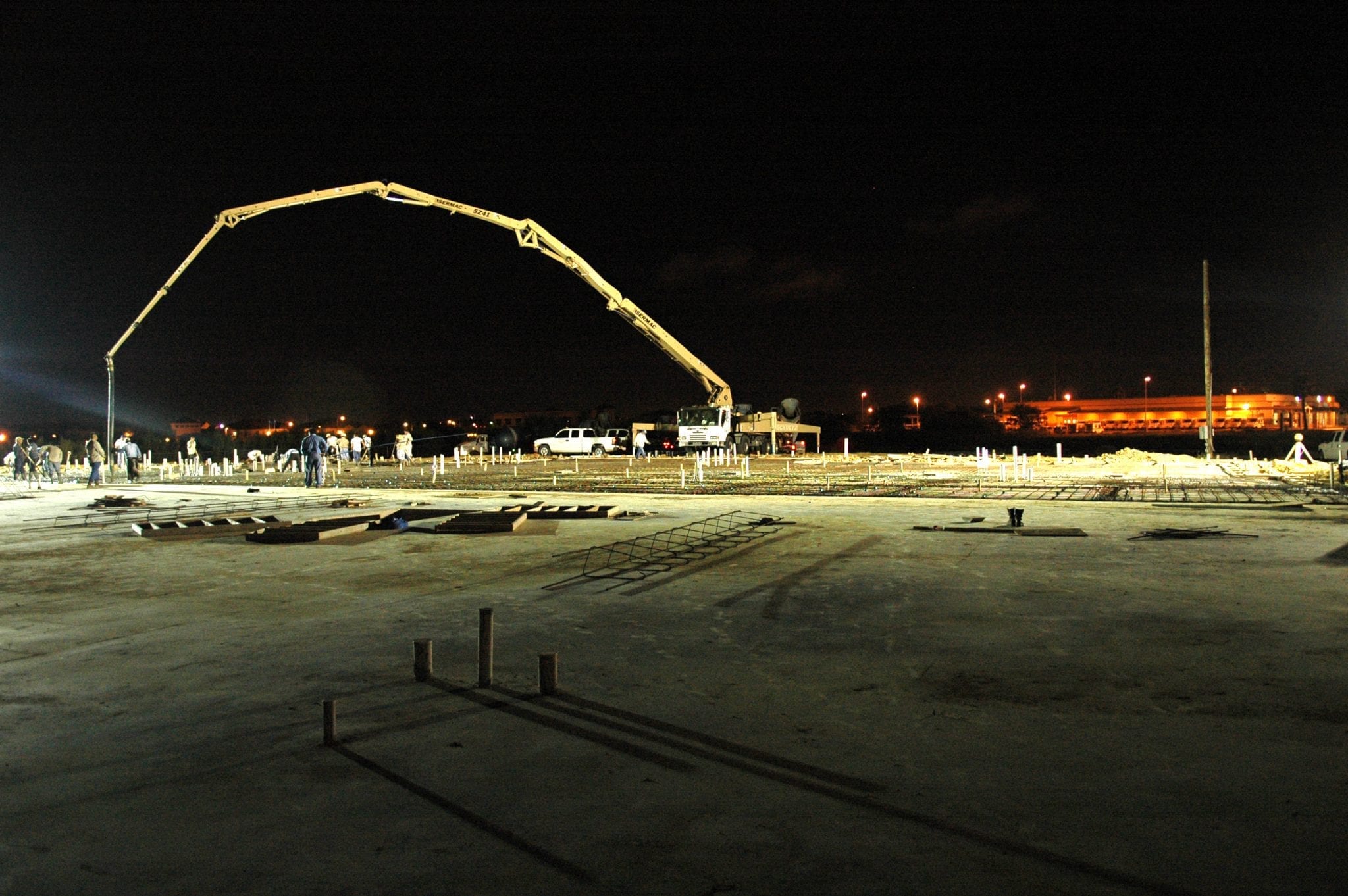
- Residential & Commercial Construction Plans
- Feasibility Studies
- Water and Wastewater Design
- Hydrology and Hydraulics
- Roadways
- Utility Coordination
FOUNDATION ENGINEERING
- Residential & Commercial Foundations
- Floodplain Certificates
- Project Management

Geoscience
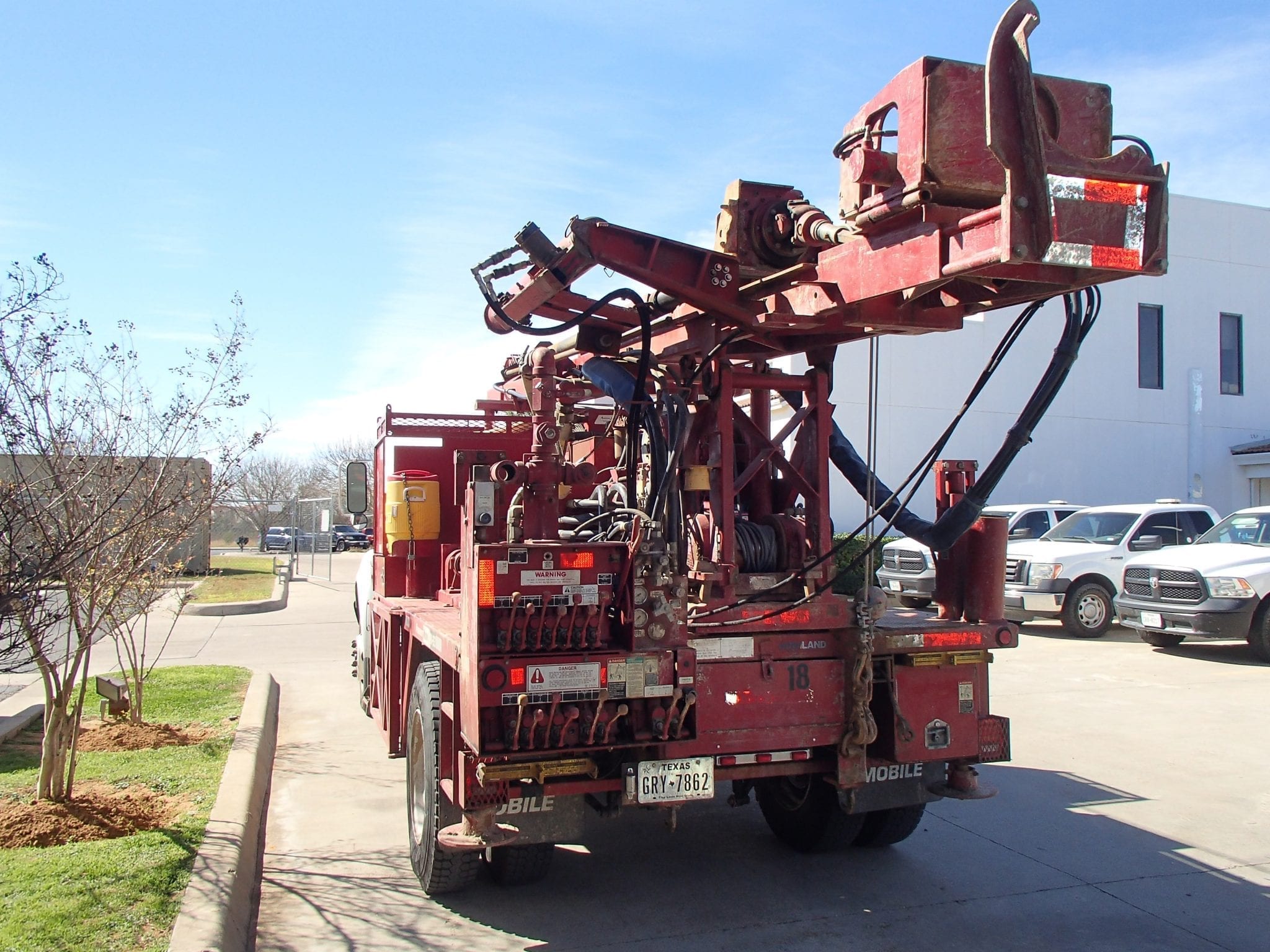
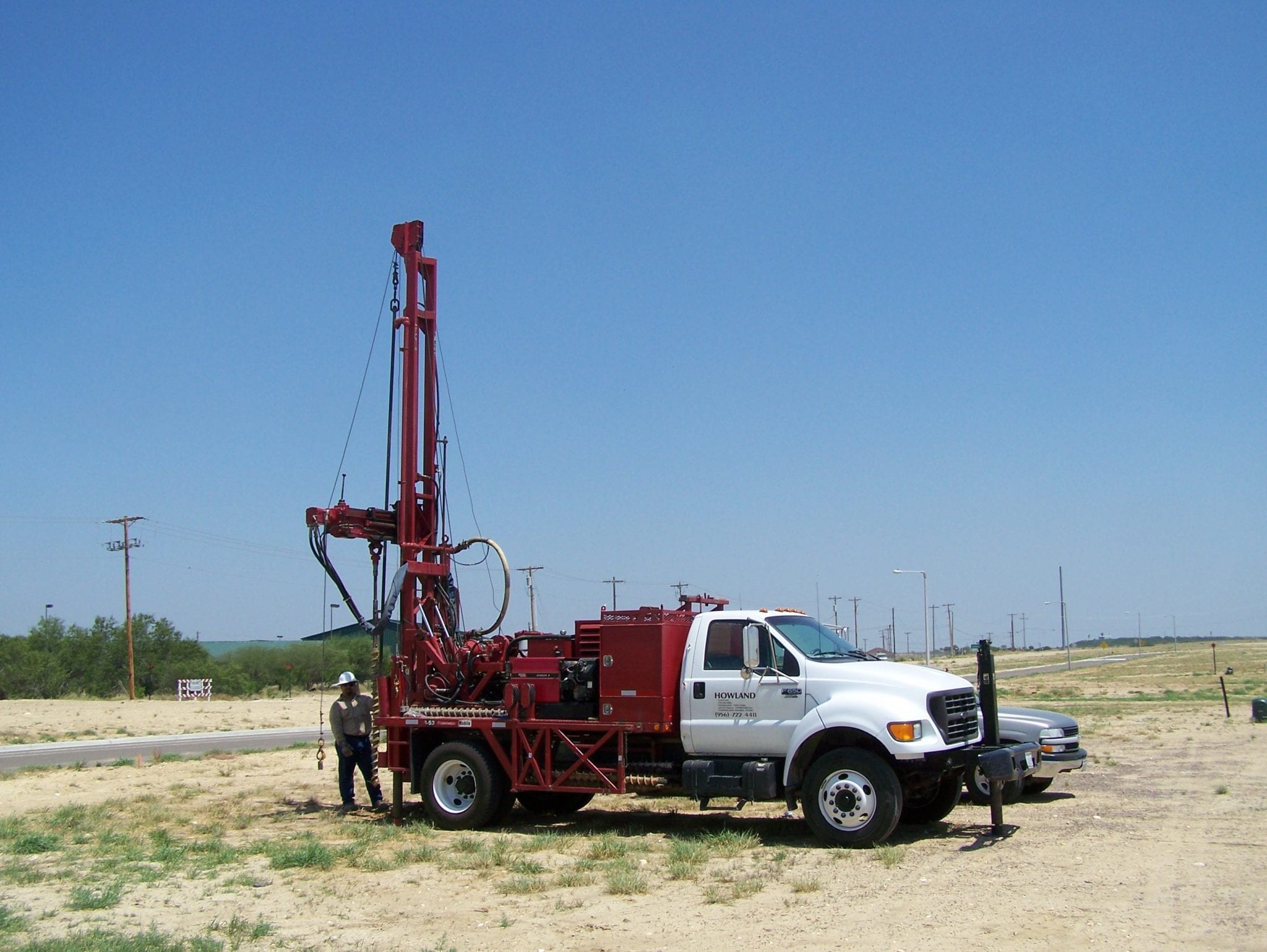
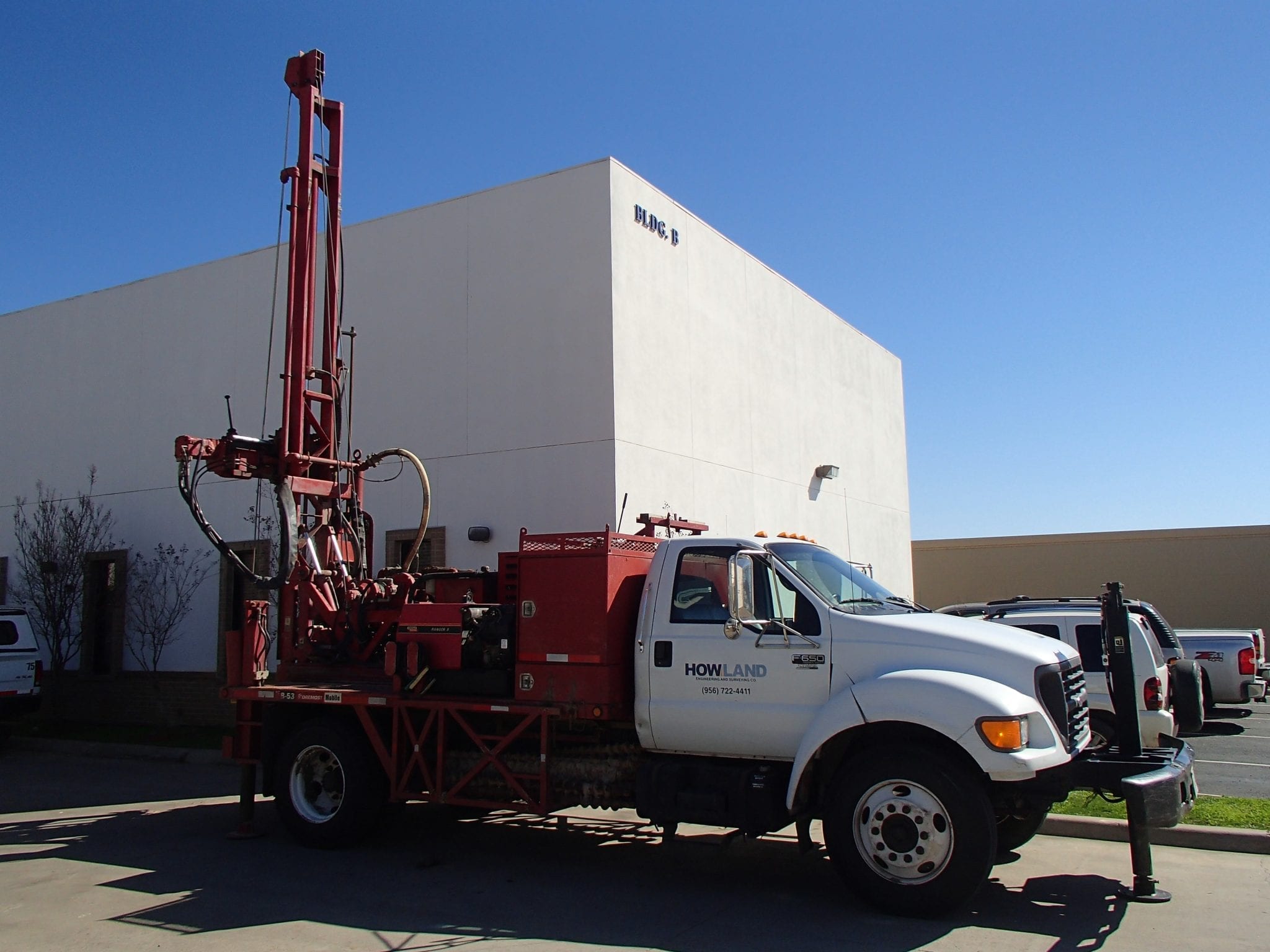
- Geotechnical Engineering
- Mobile Drilling RIC
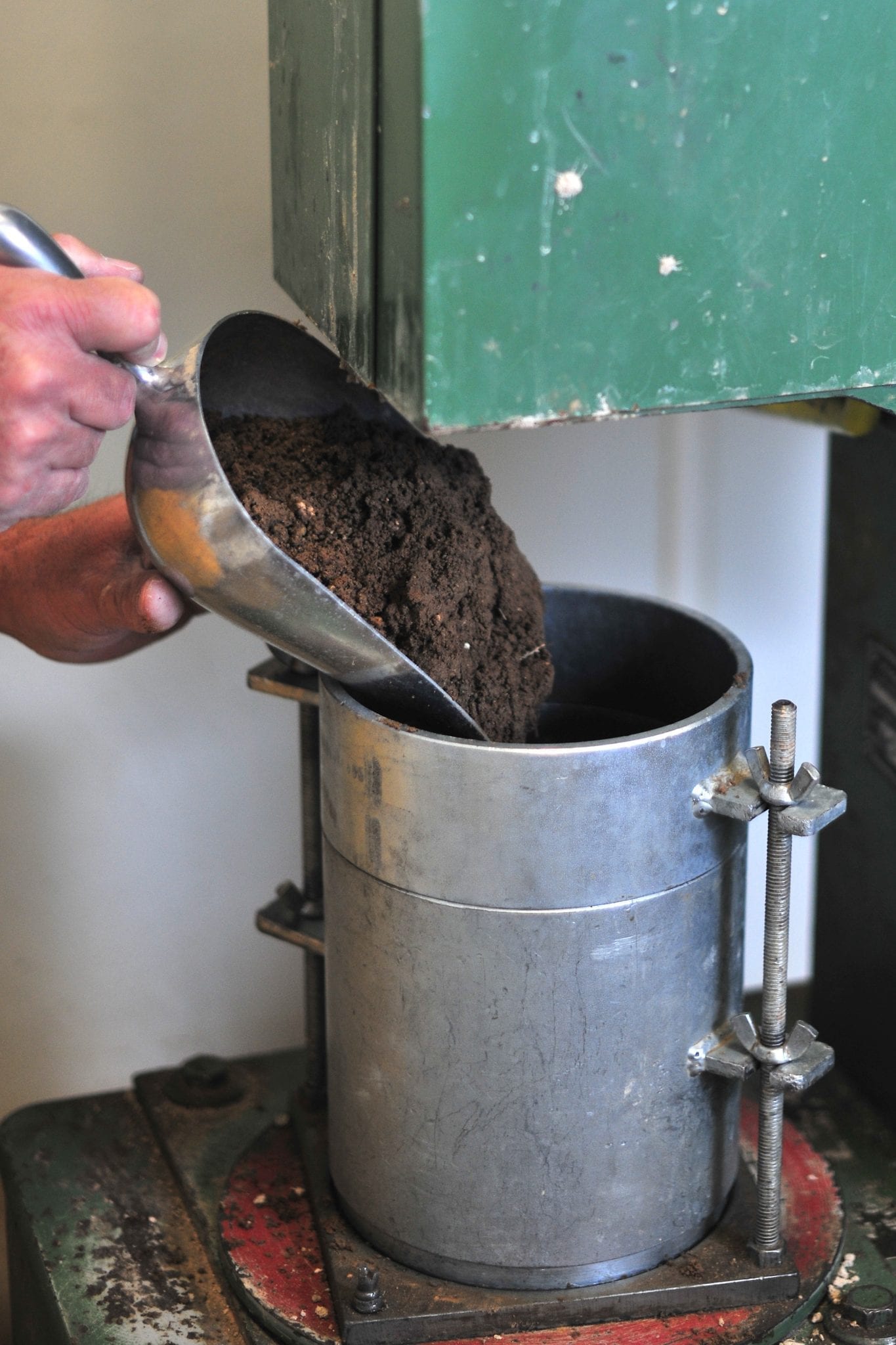
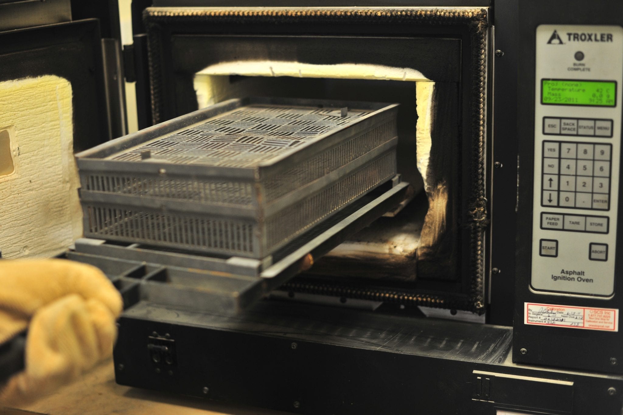
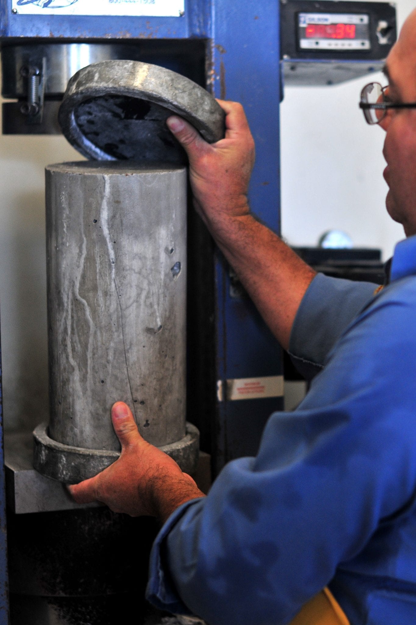
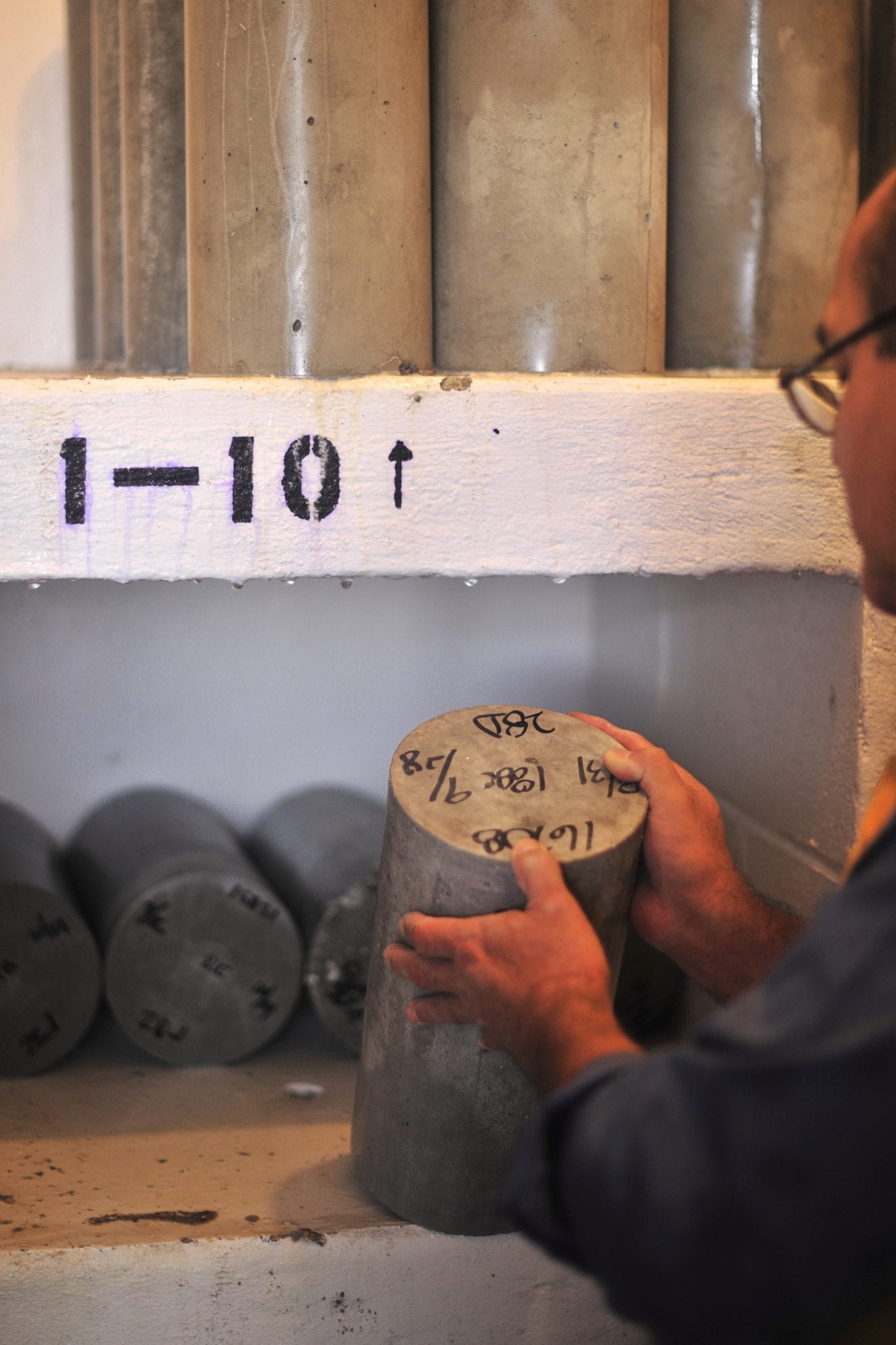
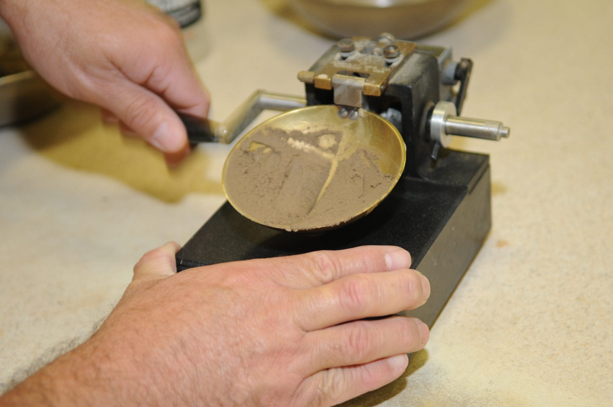
- Construction Materials Testing (CMT)
- – Compressive Strength Testing
- – Field Moisture Density Testing
- – Asphalt Testing
- – Pier Inspections
- – Sieve Analysis
- Field & Laboratory Testing and Analysis
- Quality Assurance/Quality Control (QA/QC)

GIS
- Asset Management
- Flood Plain Mapping
- Pipeline Surface Ownership Mapping
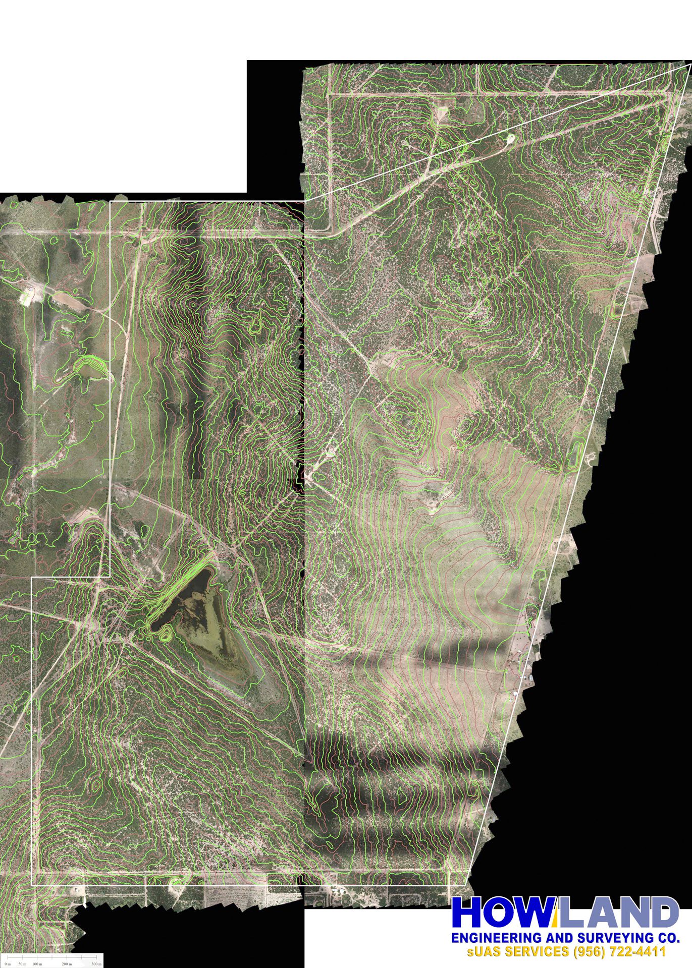
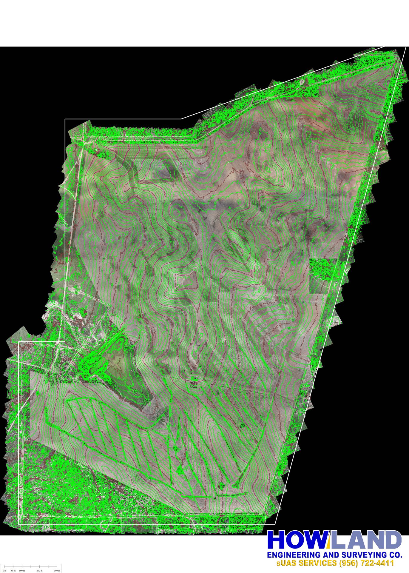
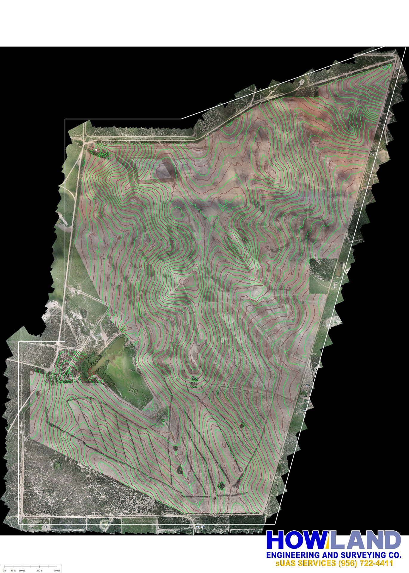
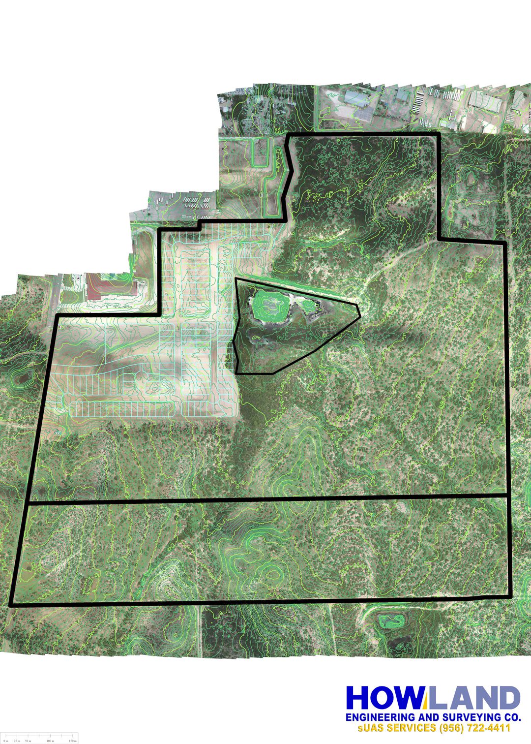
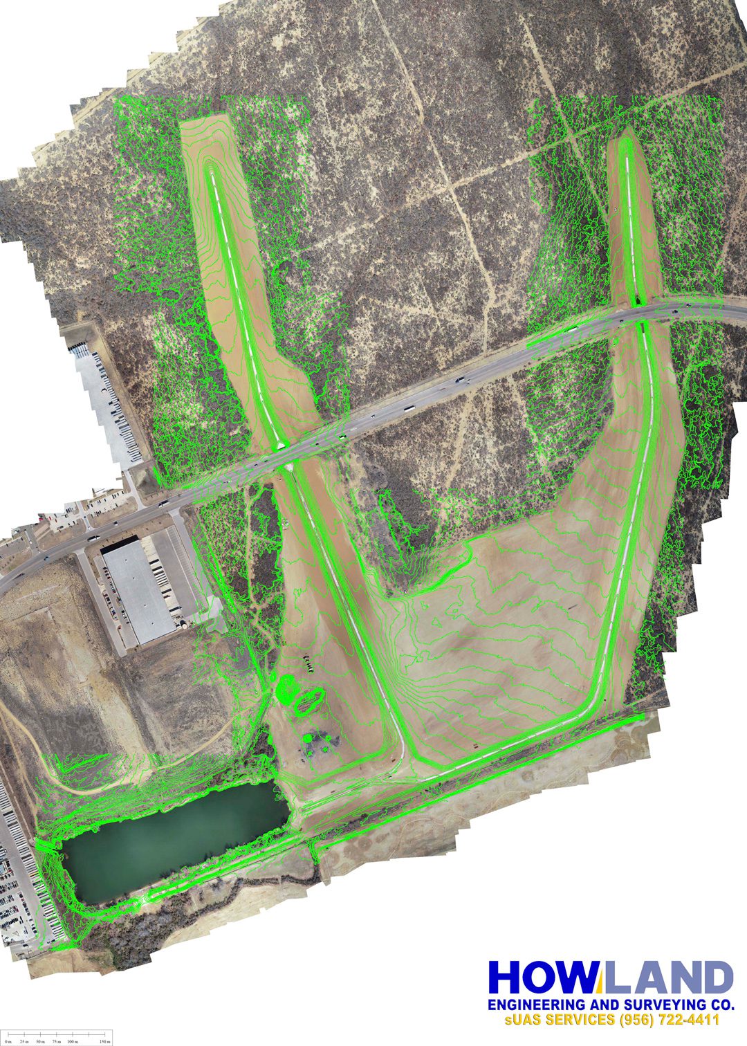
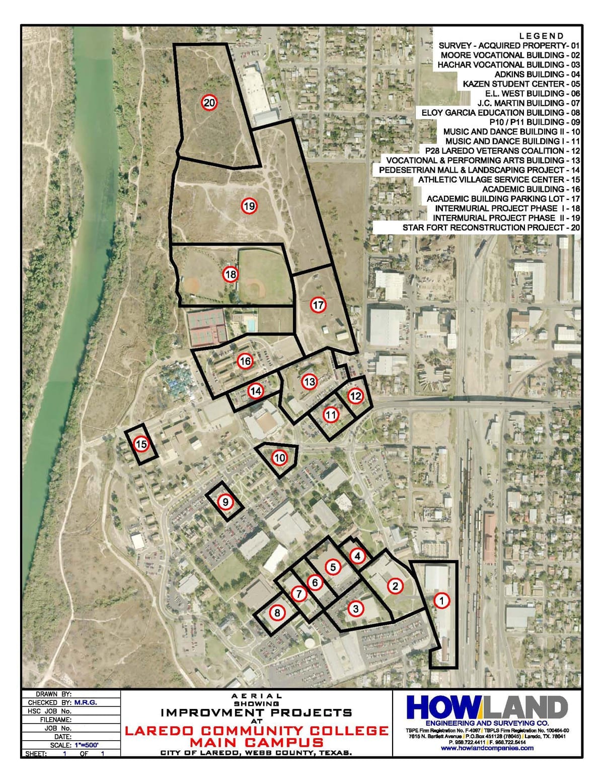
- Topographic Mapping
- Aerial Mapping
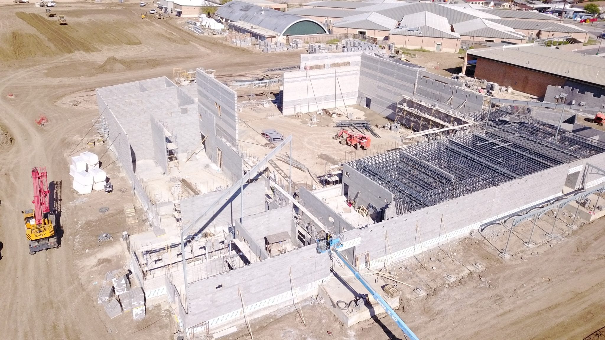
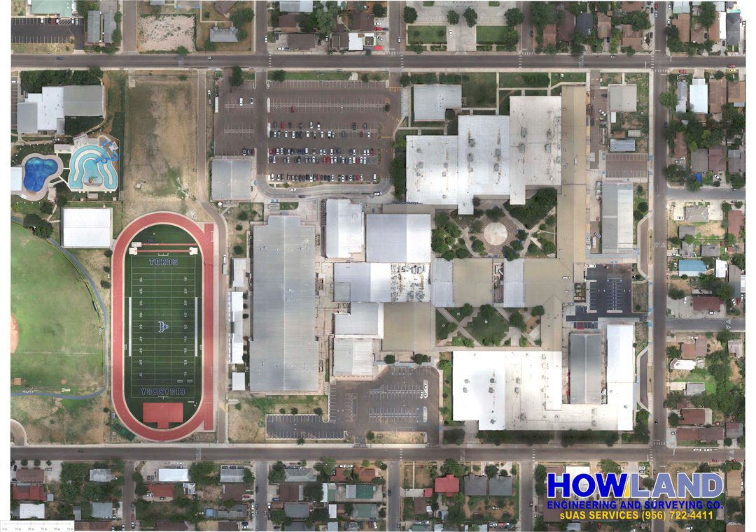
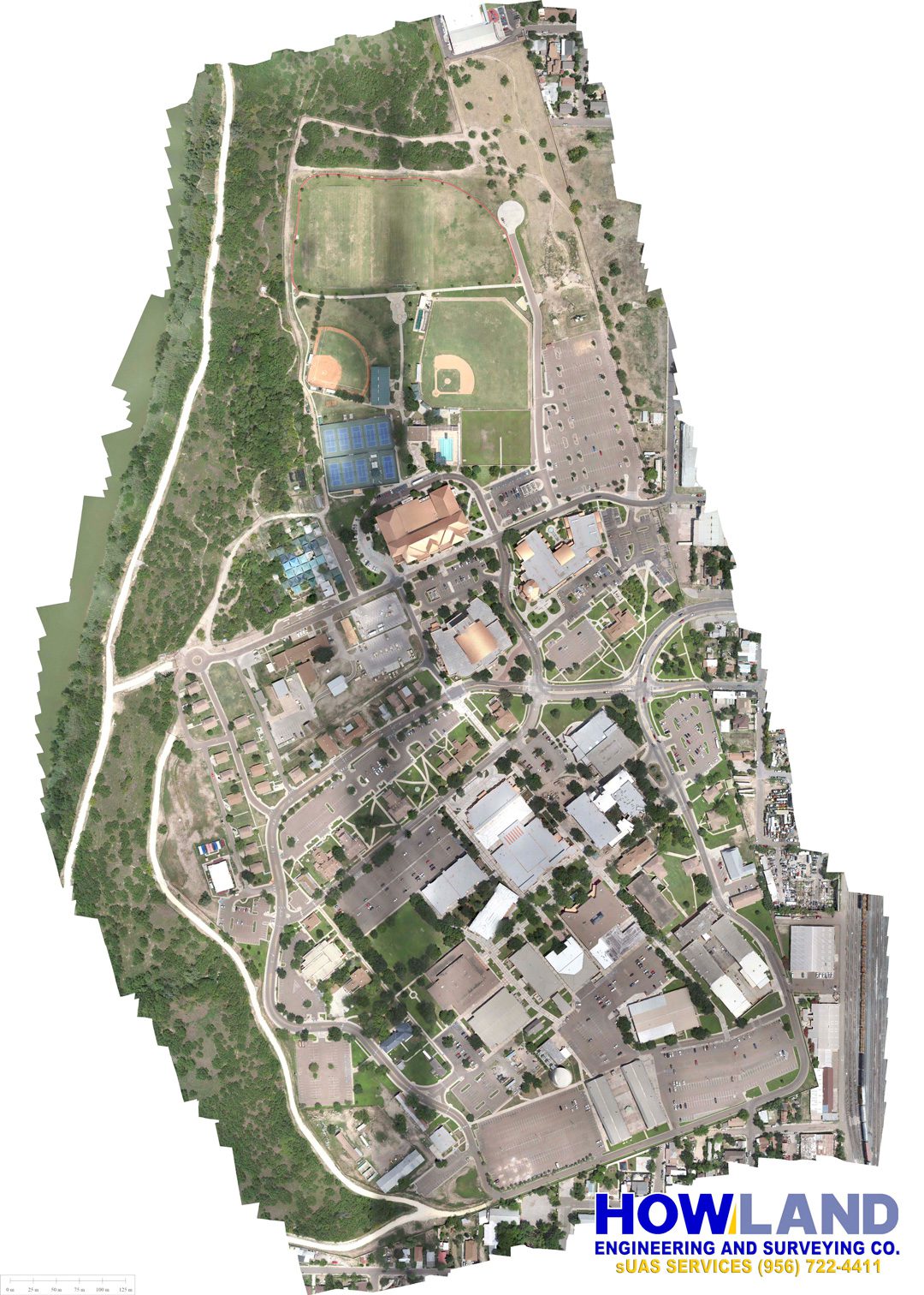
Drones (sUAS)
Small Unmanned Aircraft Systems (sUAS)
- Inspection and Asset Monitoring
- Real Estate and Construction
- Marketing: Aerial Photography / Videography
- Aerial Mapping
- Topography